Drone-Based
Aerial Imaging
Safe, efficient data collection for a wide range of projects.
Built on Service - Driven by Precision
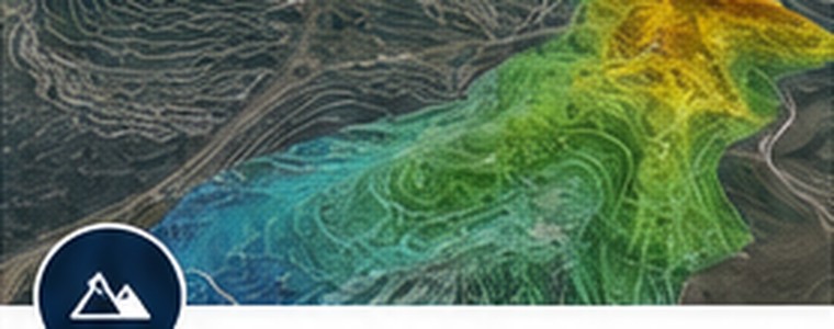
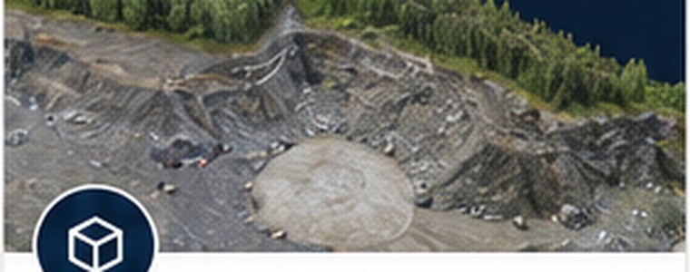
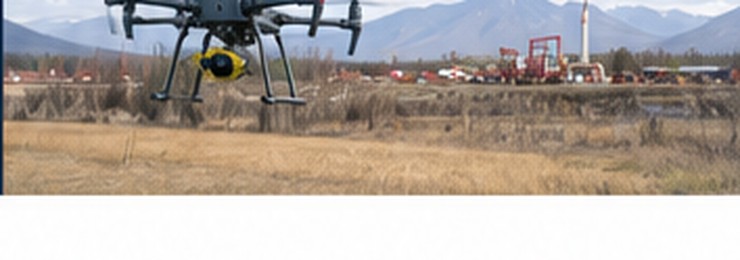
Aero-AIM helps Alaskans document, understand, and manage properties, projects, infrastructure, and site conditions through drone-based aerial mapping, site documentation, and geospatial information products.
Safe, efficient data collection for a wide range of projects.
Fit-for-purpose accuracy matched to your project requirements.
Information products that help you make better decisions.
Local knowledge and experience working in Alaska's conditions.
Services Overview

Not every project requires RTK accuracy. Not every client should pay for it. Aero-AIM matches data collection and processing workflows to the requirements of each project.
Built on military experience, discipline, and a commitment to mission success.
A locally owned, family-run business focused on service, hard work, and long-term relationships.
21+ years of imagery analysis experience guiding how we collect, analyze, and deliver information.
Practical, defensible information products clients can use with confidence.
Aero-AIM provides aerial documentation, photogrammetric mapping, monitoring, terrain visualization, and geospatial information products. Aero-AIM is not a licensed surveying or engineering firm and does not provide boundary surveys, legal property determinations, engineering design, or other services requiring professional licensure. Aero-AIM products are intended to support planning, documentation, communication, monitoring, and decision-making and may complement the work of licensed surveyors and engineers.
Let's talk about how Aero-AIM can help.